

Adventure
has no
address.
Beyond the usual route.
The Quarry moved.
We haven't.
The original site is closed. The adventure now happens across Coorg.
Bigger playground.
 EST. COORG · KODAGU
What are you here for?
Eight ways into the same landscape. Choose by what you want the day to feel like, not by service category.

Routes through estates, forest edges, mountain tracks and the kind of roads most visitors turn around on.
- DURATION
- Half day / full day
- GROUP
- 2–4 per vehicle
- SKILL
- Beginner friendly
- WEATHER
- Weather dependent
- REGION
- Madikeri
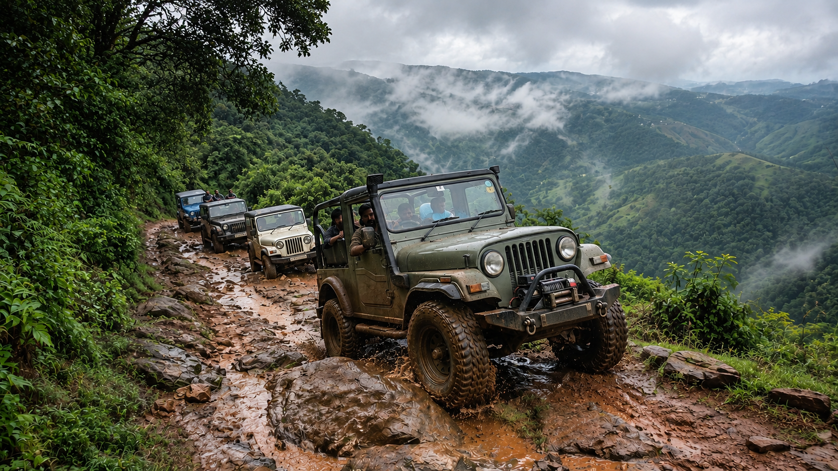
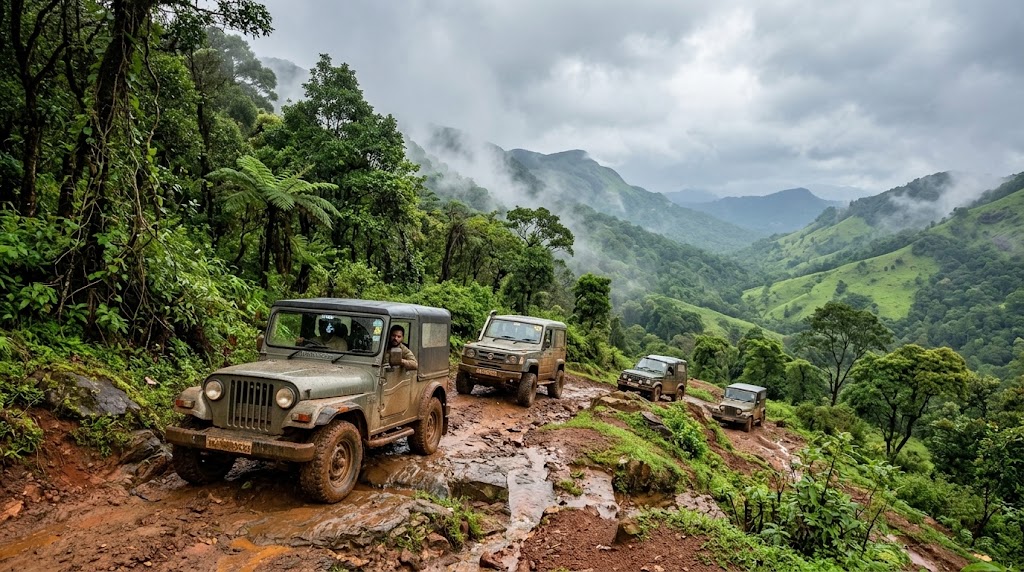
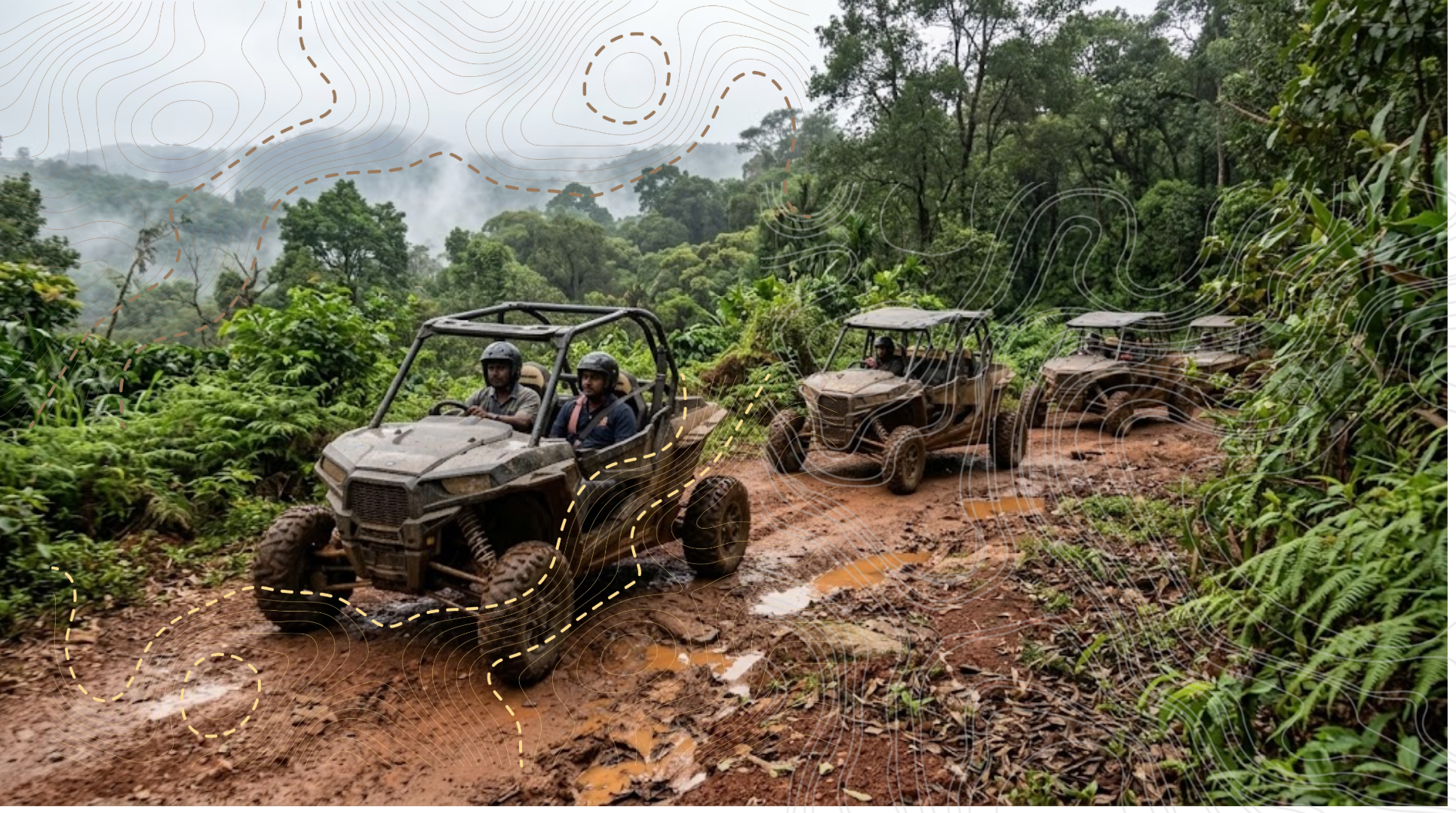

Ride the road that made you stop the car.
The road is the reason; the machine is incidental.


Adventure motorcycling
Two hundred kilometres of elevation and curves, and one stop that justifies the whole day.
- REGION
- Western Ghats road network
- GUIDED
- Guided, lead and sweep
- WEATHER
- Weather dependent

Motocross & technical
Rock steps, stream beds and estate trails, ridden slowly and repeatedly until they go clean.
- TERRAIN
- Controlled terrain
- GUIDED
- Guided / instruction
- SKILL
- Experience level required
- WEATHER
- Weather dependent
You see Coorg differently from up here.
Zipline and airborne adventure, run for height and exposure rather than for the drop. The landscape stays larger than you do.

Climb Coorg
Mountain climbs, estate crags and the walk up Tadiandamol — 1,748 m, the highest point in Kodagu.


Read off the survey sheet, not estimated. Walking distance and gain depend on which trailhead you start from, so we tell you on the phone rather than printing an average.
See the sheetThree sheets. Everything we do sits on one of them.
Registered survey extracts, not illustration. Where the site draws contours over a photograph it is doing something else, and it says so.

The highest ground in Kodagu. The footpath off the north side is the walking line; the closures south-west of it are the false summits people mistake for the top.

Talakaveri sits on the shoulder; the Kaveri leaves it eastward past Bhagamandala. Half the rivers we read for angling start on this sheet.

Small hills, close spacing, one road threading between them. This is the ground the estate tracks and trail routes actually cross.
Route lines are drawn only where a track appears on the sheet or a walked GPX exists. Nothing on this page infers distance or gain from a photograph.
Ask which sheet you are onNothing here needs to be fast.


Nature and estate walks. Two hours or a full day, depending on how often you stop.

Chasing
fireflies
A guided night walk through firefly habitats we found ourselves.
Fireflies are soft-bodied, mostly nocturnal beetles — family Lampyridae. The light is a chemical reaction inside the abdomen: luciferin, oxygen, ATP and the enzyme luciferase. It runs cold, at close to a hundred per cent efficiency. Every species has its own rhythm, and some flash in synchrony.
They are also a reading of the place. Light pollution breaks the mating signal; habitat loss and pesticide do the rest. So the walk runs dark and quiet, and we do not publish the locations.
- SEASON
- April
- FORMAT
- Guided night walk
- LIGHT
- No torches, low voices

Let the fireflies guide you through a magical night under the trees!


Then the scale drops to the size of a leaf.
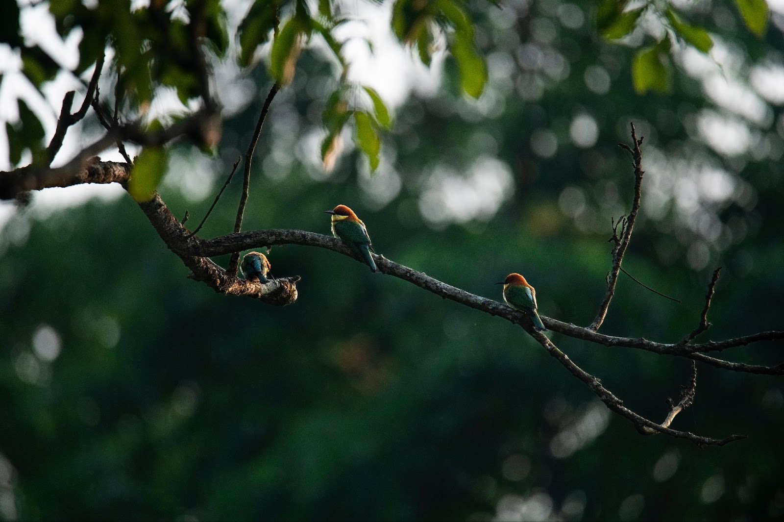
Bird watching, wildlife observation and the ecological detail most visitors walk straight past.
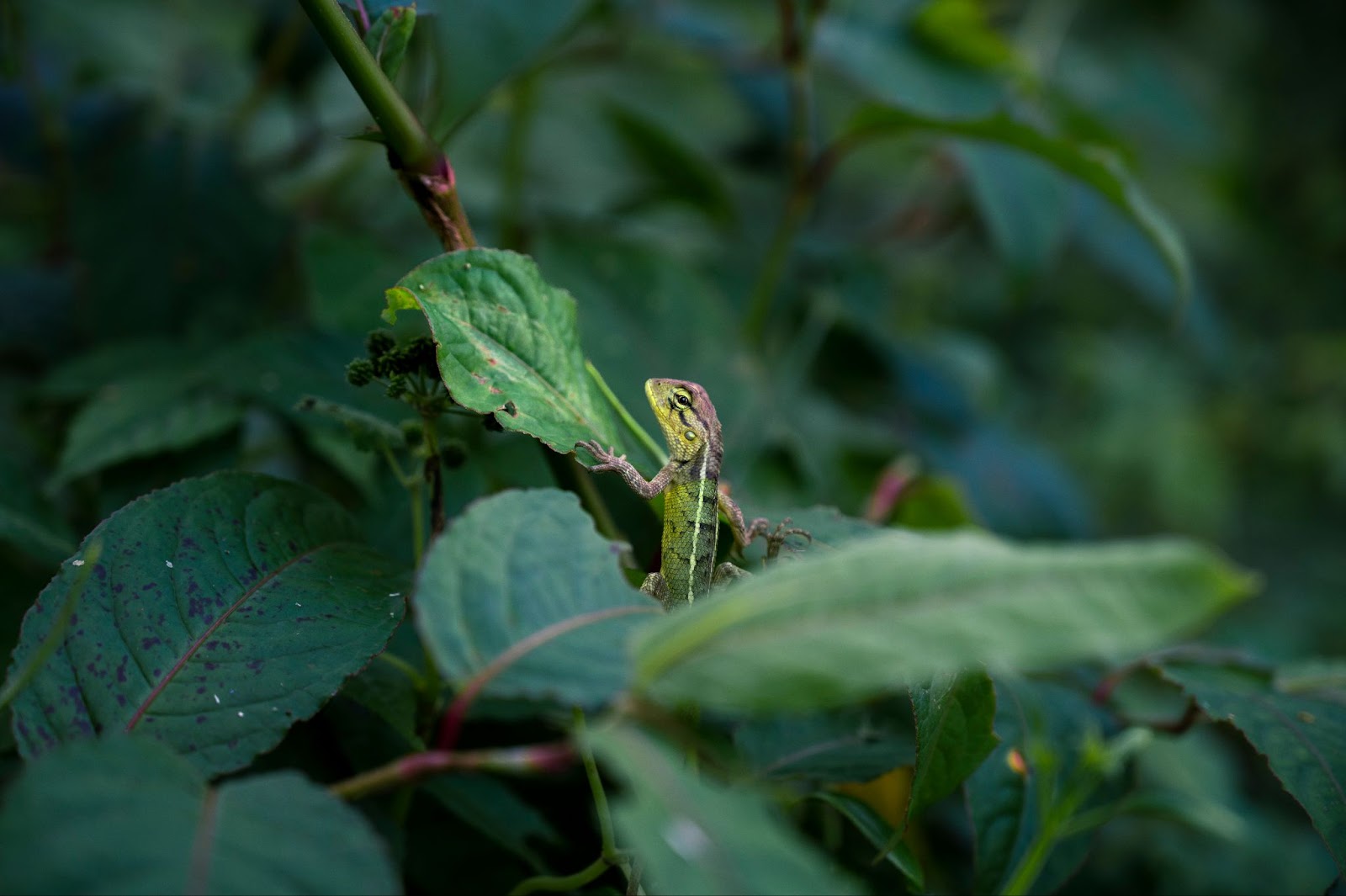
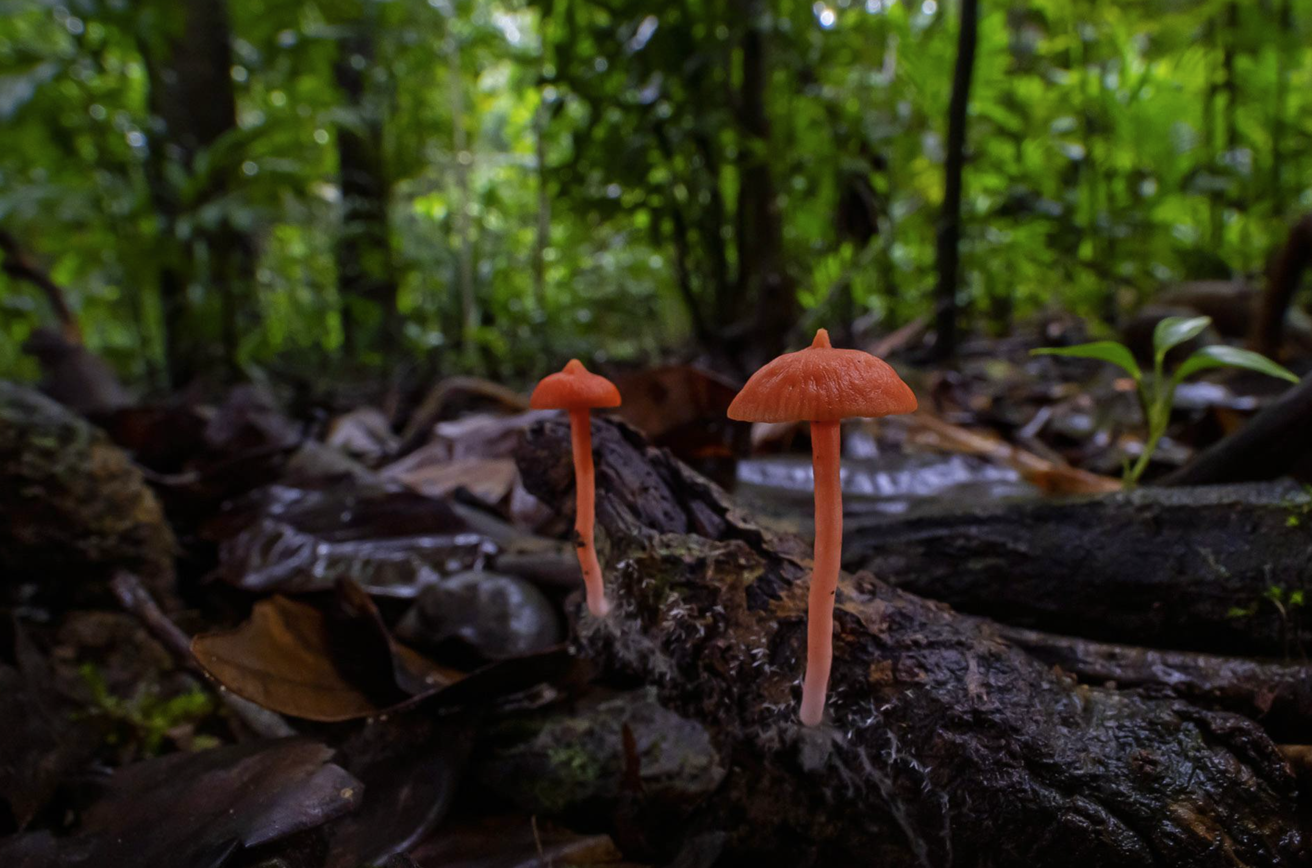
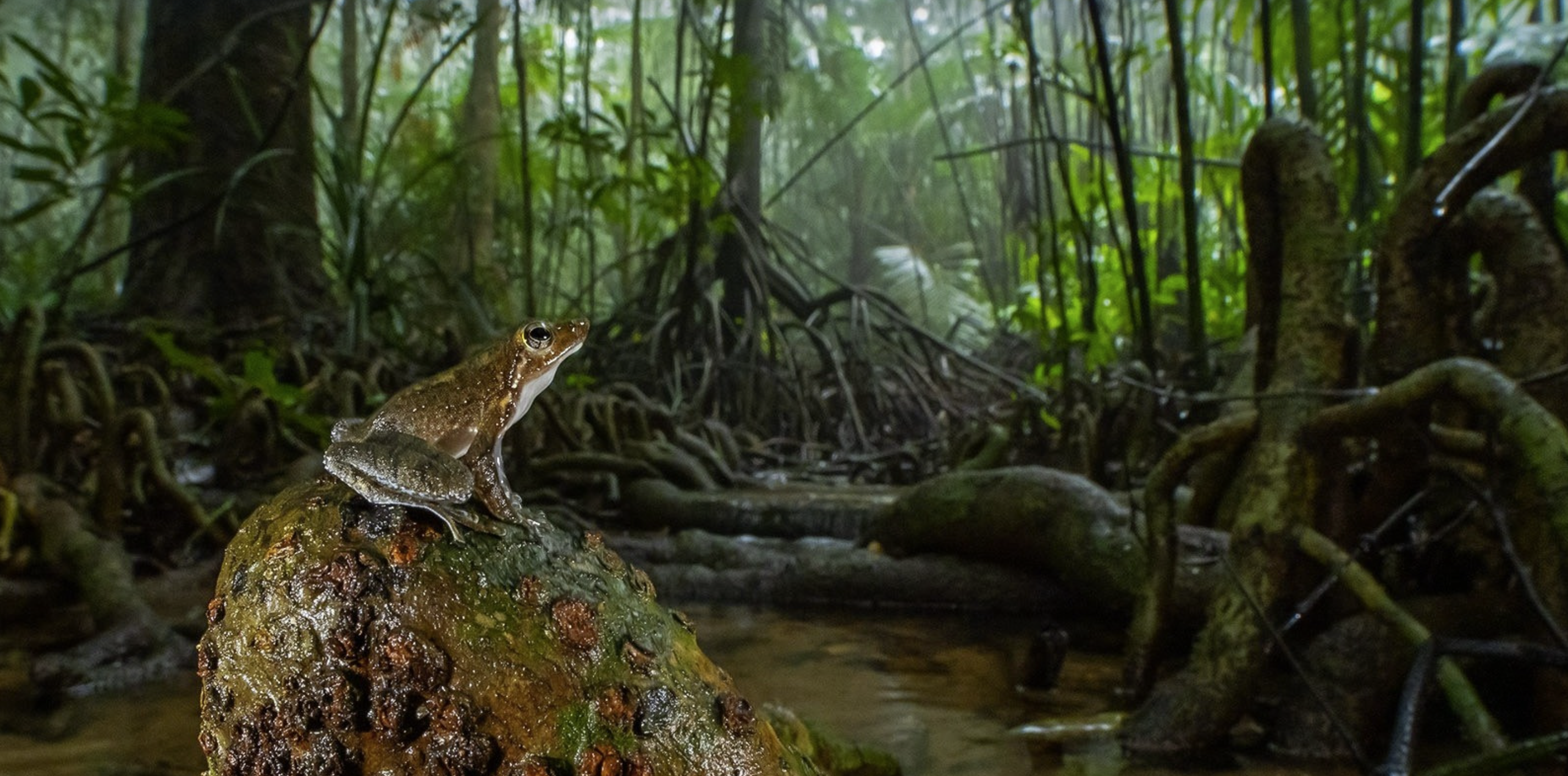

Angling and river experiences, read against the week's rainfall rather than a calendar.
- GUIDED
- Guided
- PERMIT
- Permit dependent
- SEASON
- Seasonal
- WATER
- Condition dependent
- PRACTICE
- Catch & release where applicable
The Coorg most people miss.
Written by the people who are out in it. The observations that decide what a good day here actually looks like.


What is Coorg doing today?
Field intelligence from people on the ground. Every entry carries a time, a source and an expiry. When it expires it is removed, not greyed out.
Tell us what kind of Coorg you want.
Answers come in plain language, from the same field knowledge behind the Signal, and route to a person.
- 01Two or three experiences that fit the days and the weather you named.
- 02The current Signal for each one, so nothing is recommended into bad ground.
- 03Where to stay, eat and disappear nearby — selected, not listed.
- 04One human on WhatsApp who can change the whole plan in a sentence.
Someone who was out there this morning will answer.
No booking engine, no callback queue. Tell us the days you have and what you want them to feel like.